 StrollPoint™
Destination experience platform
Hand every visitor an interactive park map they can step inside.
Give your guests a digital guide right on their phones that actually makes sense. Visitors can look around the real trailhead before they set off, then walk there with total confidence.
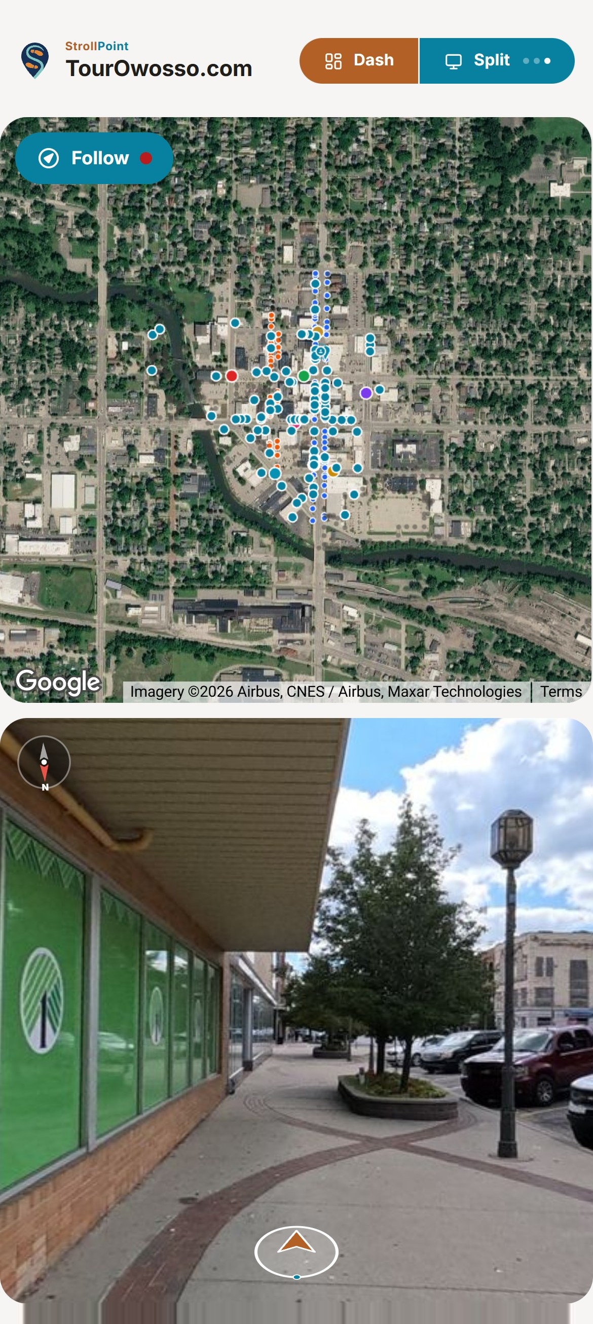
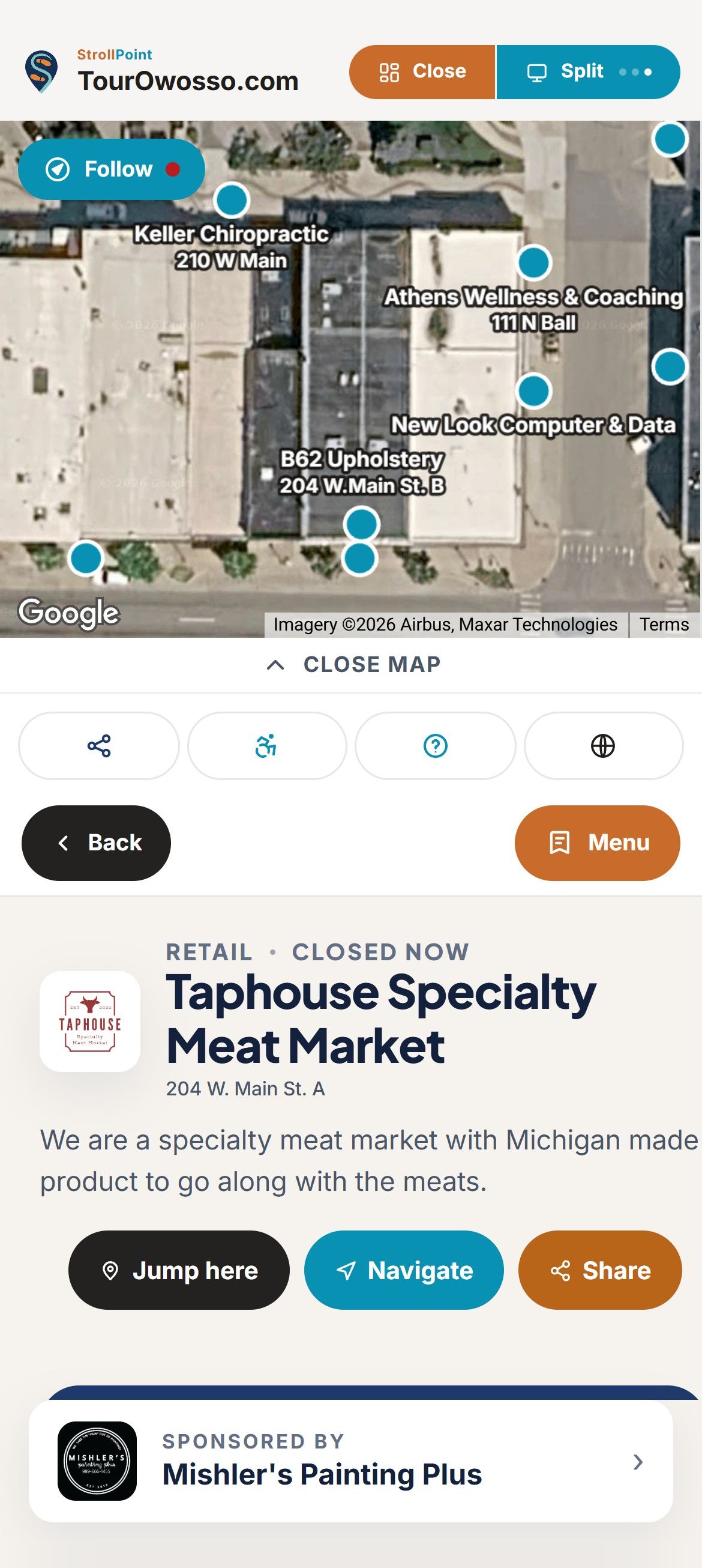
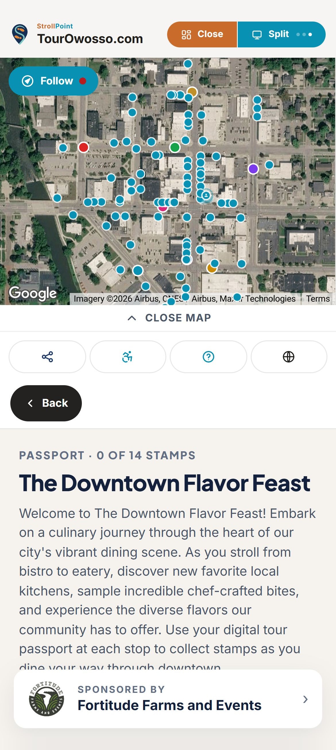
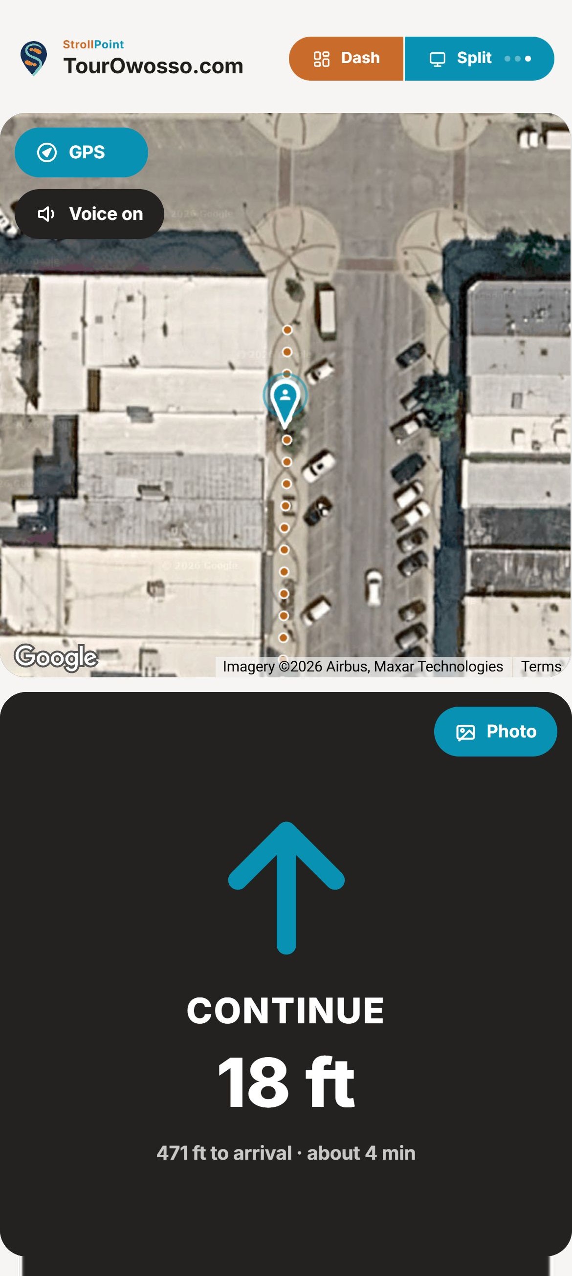
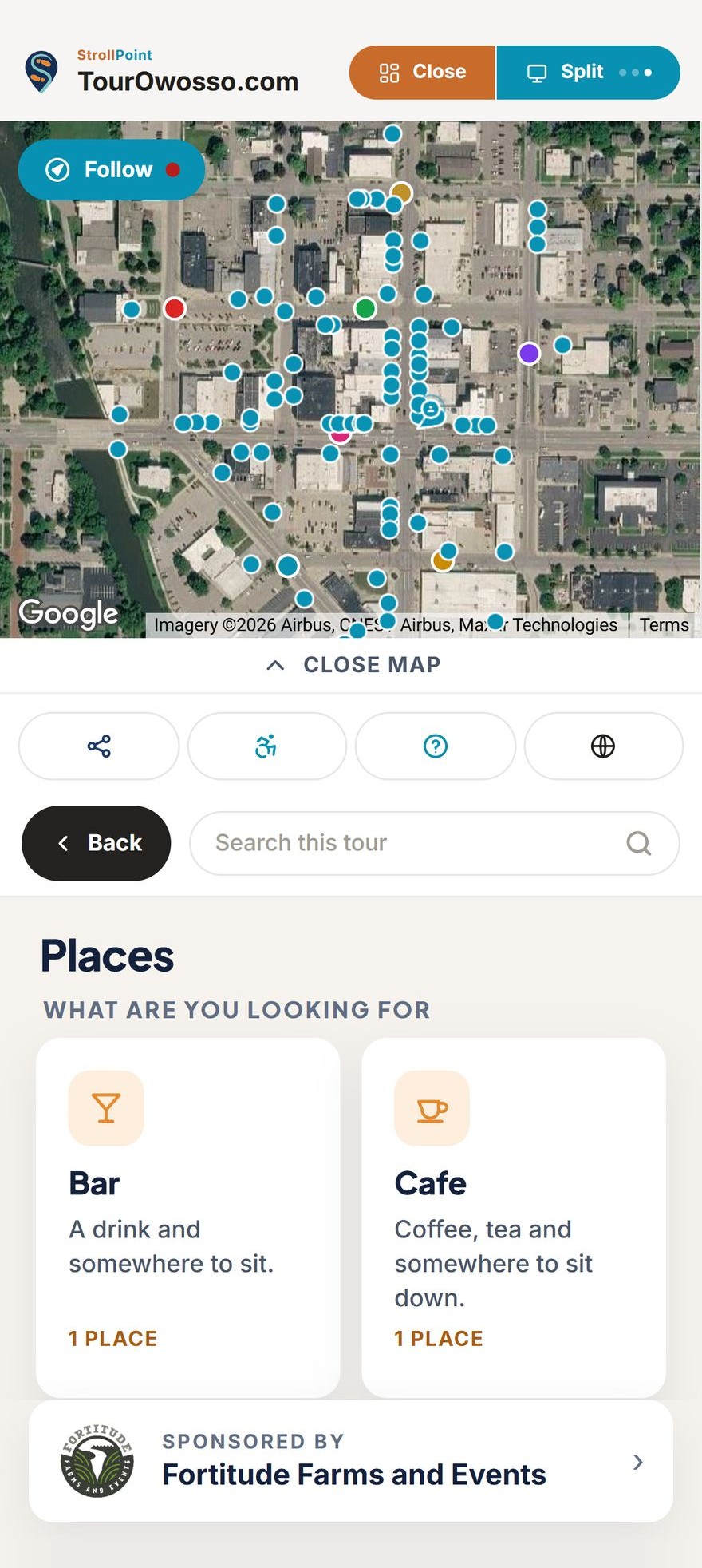

360° trail preview
Let visitors walk the trail before they leave home.
A trail map shows a line and a few symbols, and leaves people guessing what each fork really looks like. StrollPoint puts visitors on the actual ground in 360 degrees, so a family planning Saturday can look down each path and pick the loop that suits everyone.
Used by visitorsThe map follows every step.
Trailhead essentials
Put the nearest parking lot and restroom one tap away.
The first thing most visitors want to know is where to park and where the closest restroom is. StrollPoint puts both answers on the opening screen and walks each visitor to whichever one they pick, so a day in the park starts calm.
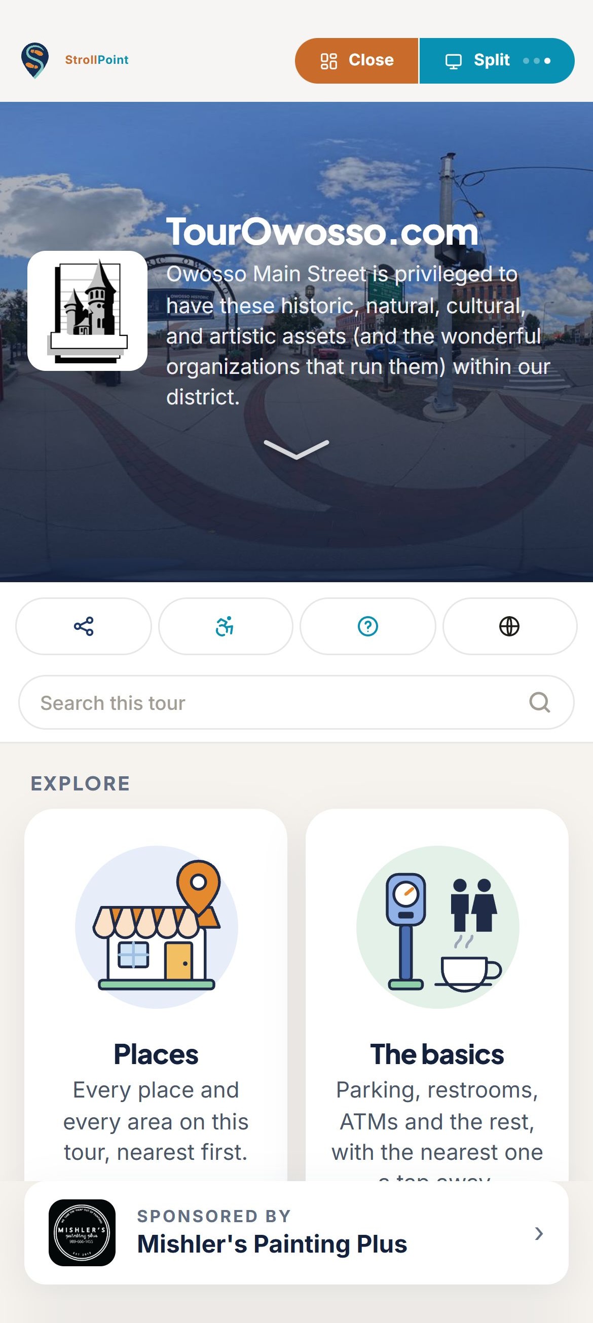
- Your park, up front Visitors are greeted by a photo of your own park and its name.
- Easy for every visitor Search the whole park, share a spot, plan a step-free route or switch to Spanish.
- Clear picture cards Picture cards lead visitors straight to trailheads, picnic areas and the boat launch.
- Room for your sponsors Thank a friends group or local sponsor in a row of its own that stays in view.
Out on the trail
Keep every visitor on course from the parking lot to the overlook.
Trail signs can only say so much at each junction. StrollPoint stays with your visitors from the first step to the last, so a first-timer on a long loop feels as sure of the way as a regular.
- A card for every stop Show the nature center's hours and what each stop offers before anyone starts walking.
- Spoken turn by turn A big arrow and a spoken turn at each junction keep hikers on the path.
- A trail passport A stamp lands by itself when a visitor stops at a trailhead, with a prize at the end.
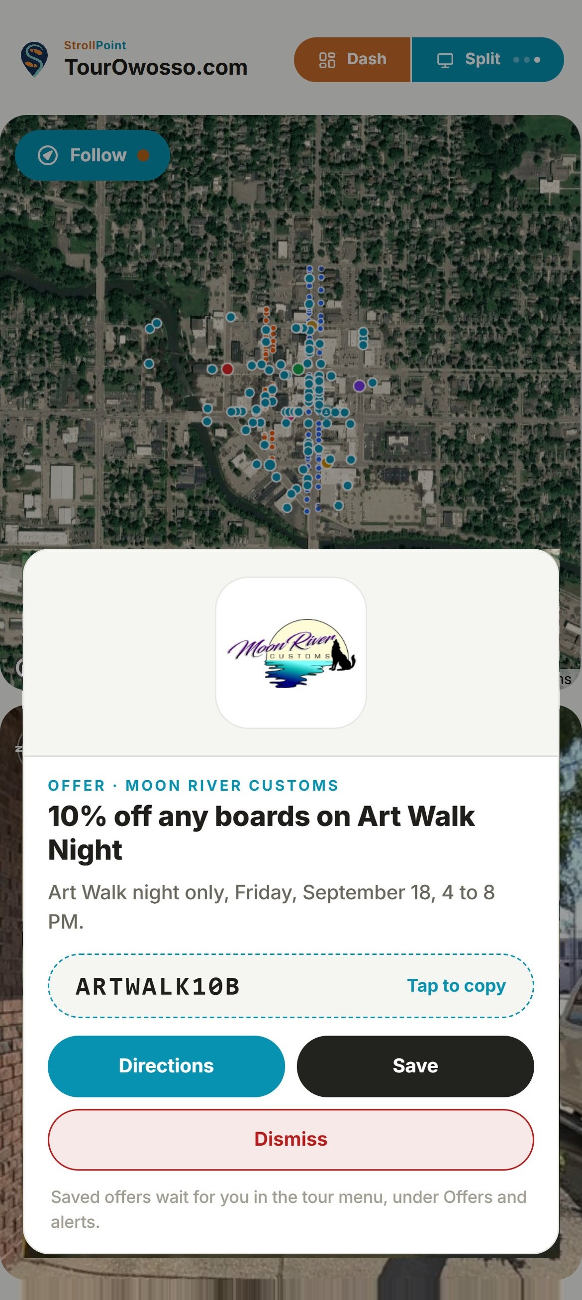
- A note at the right spot Pop up a safety note near the water or a concession offer as a visitor walks up.
Step-free park routes
Route wheelchairs and strollers around steps and gravel.
A visitor in a wheelchair and a parent pushing a stroller both need to know about the gravel stretch and the steps by the boardwalk long before getting there. Mark each barrier once, and StrollPoint plans every step-free route around it, so the people who need the easy way find it.
- Mark a barrier once Your team marks the stretches a wheelchair cannot use: steps, a curb, a gravel path, a narrow gate or a slope that is too steep.
- One switch for visitors A visitor turns on step-free routing from the tour’s own row of tools. The choice appears as soon as you mark your first barrier and stays out of sight until then.
- Routes that go the long way Routes take the long way around every marked barrier, which is exactly what someone pushing a stroller wants. When a lookout can only be reached by stairs, the tour says so plainly instead of sending a visitor up them.
Accessible mode, in the tour’s own bar, exactly as a visitor finds it.
Kiosk and paper map
Reach every visitor, from the entrance kiosk to the far end of the trail.
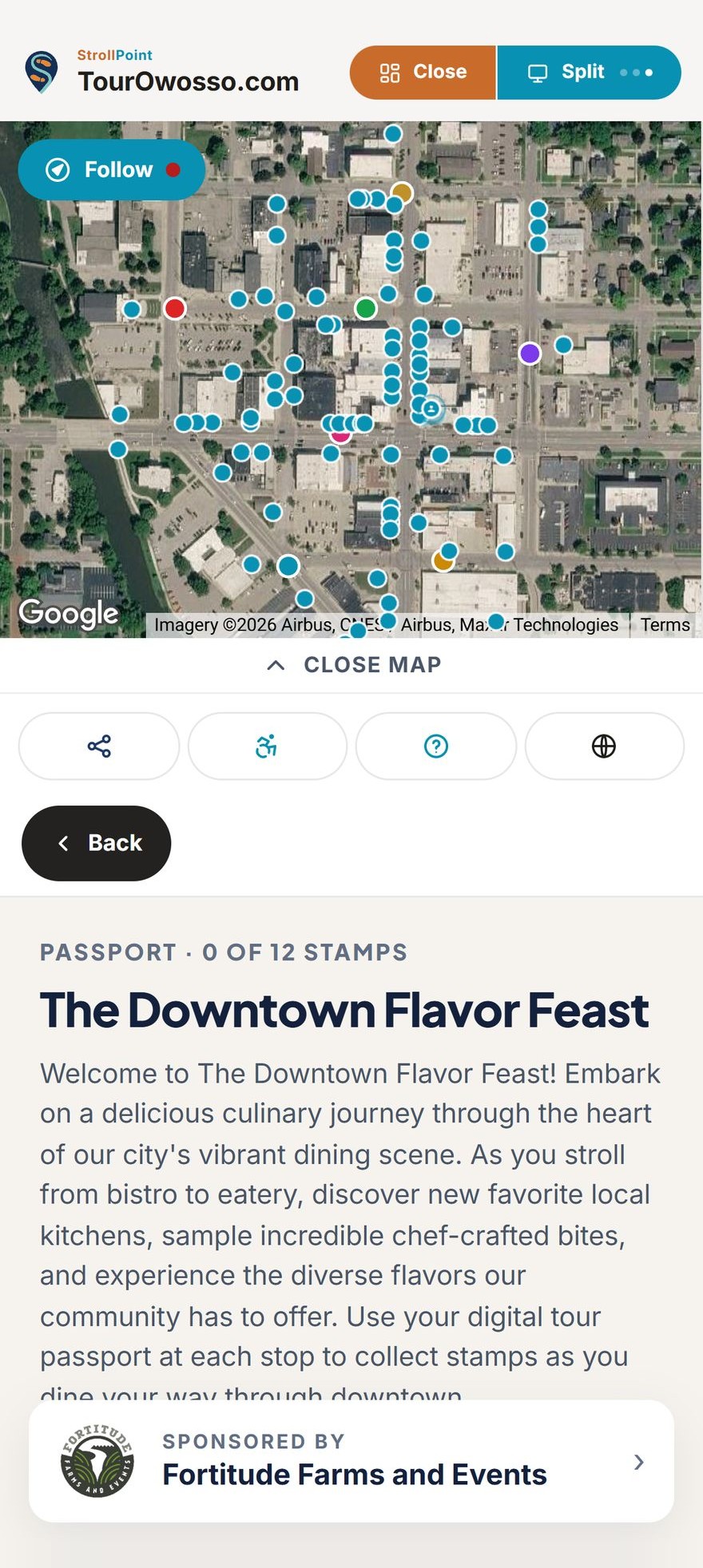
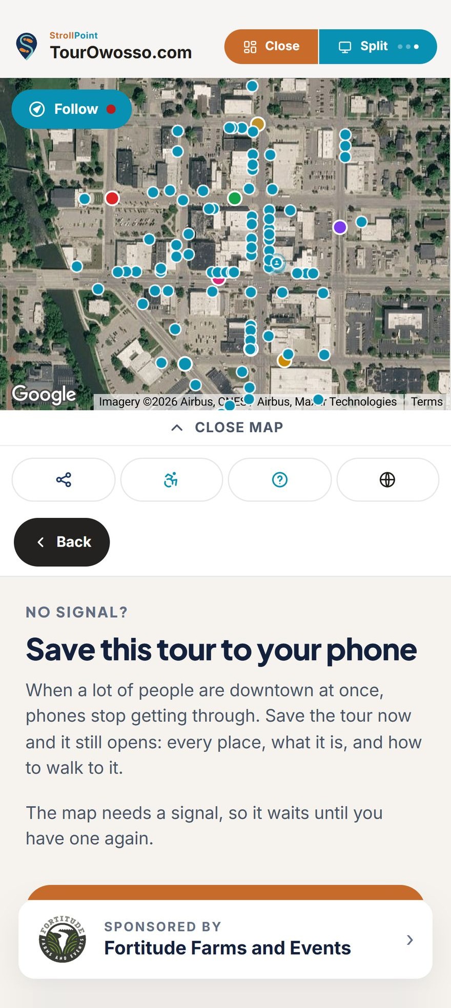
Some visitors start at the screen in the visitor center, some want a paper map in hand, and some collect passport stamps halfway around the lake with no signal. StrollPoint looks after all three from the one tour you already keep up to date.
- A kiosk at the gate Run the tour on a screen at the entrance or in the visitor center. It never asks anyone for their location, it returns to its opening view two minutes after the last person walks away, and a code on screen lets a visitor take the tour along on their own phone.
- Paper maps that match Print a numbered map of the trailheads, shelters and overlooks you choose, with a QR code that opens the live tour. Keep a stack at the welcome desk and print a fresh sheet the day a trail is rerouted.
- Stamps without signal Trail passports keep working where the bars run out. A stamp collected out of signal is saved on the visitor's phone and goes in the moment the phone reconnects, so a hiker never loses a stamp on the far side of the ridge.
Park visitor numbers
Show your board where visitors actually went.
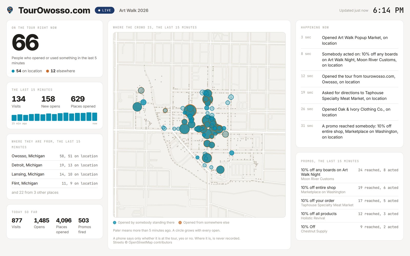
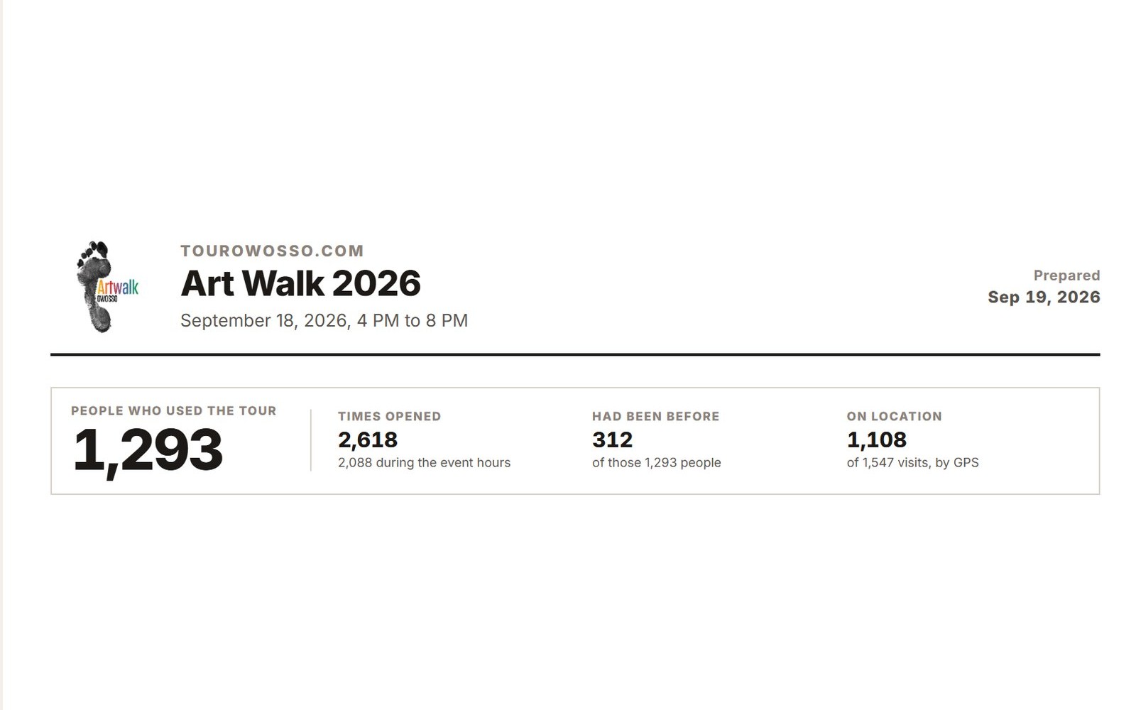
A parks budget is easier to defend with real counts behind it. StrollPoint counts every visit without identifying anyone, then turns a season into a printable report your board can read without signing in.
- People and visits See how many people used the tour, how many came back, and how long an average visit lasted.
- The busiest stops See which trailheads and overlooks visitors open most, and which ones nobody opens.
- Signs that work Give each trailhead sign its own code and see how many visitors came in through each one.
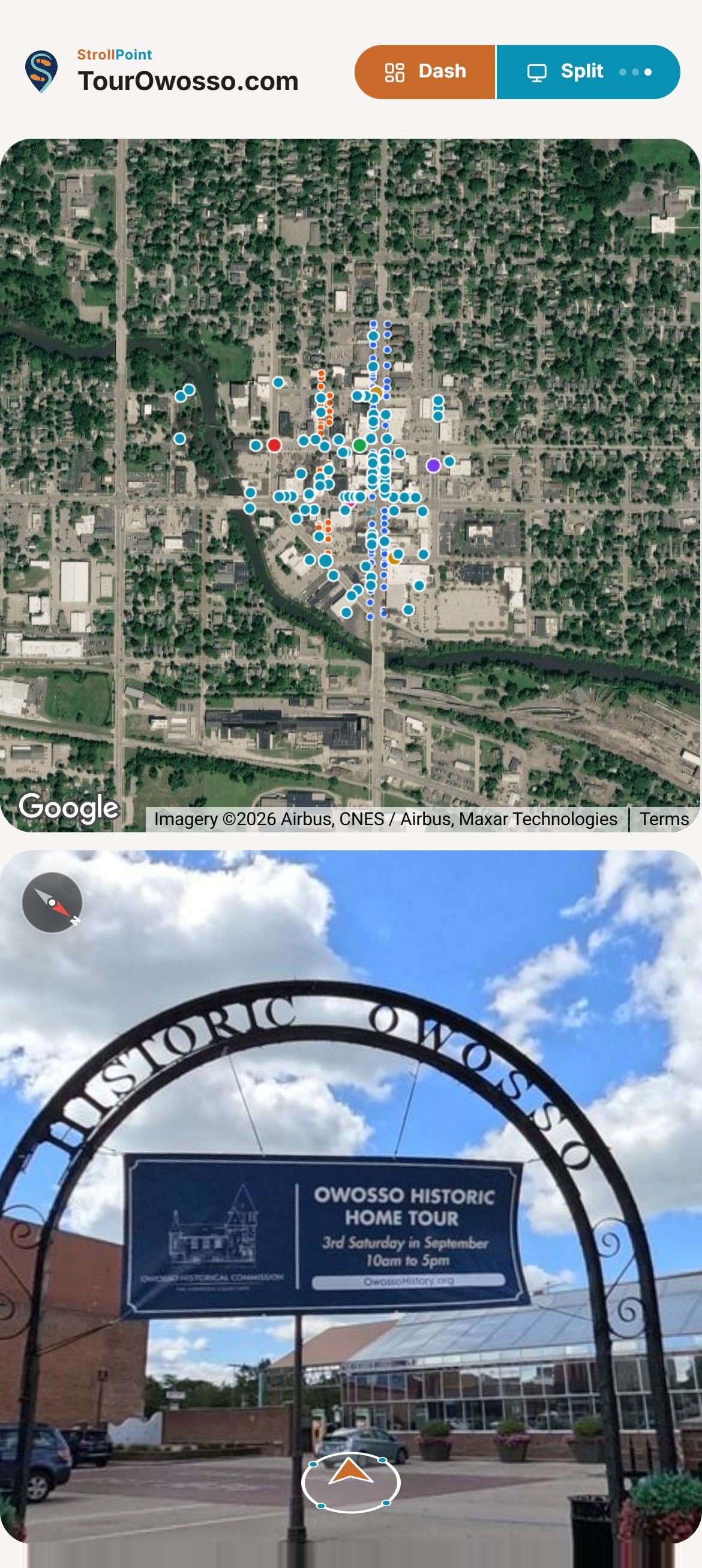
- Where people looked Bigger circles mark the spots opened most, and teal ones were opened by somebody standing there.
- Live on race day Watch the live board during a trail race, a festival or a busy holiday weekend.
- Reports by email Email the numbers to your board the morning after an event or on the first of the month, and share a printable report with anyone, no sign-in needed.
Experience StrollPoint
Step inside a live destination.
Scan the code to experience the fully interactive digital guide for downtown Owosso directly on your mobile device.
See live demos